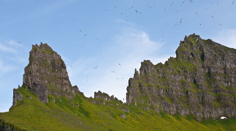
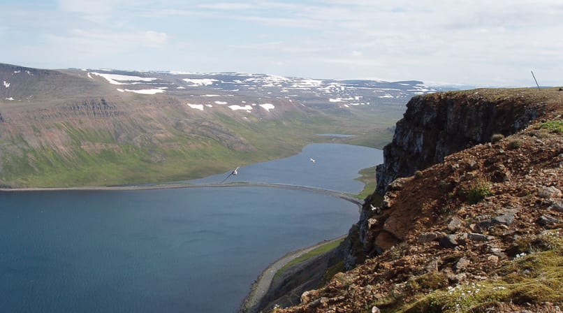
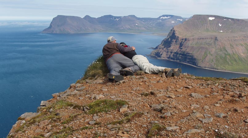
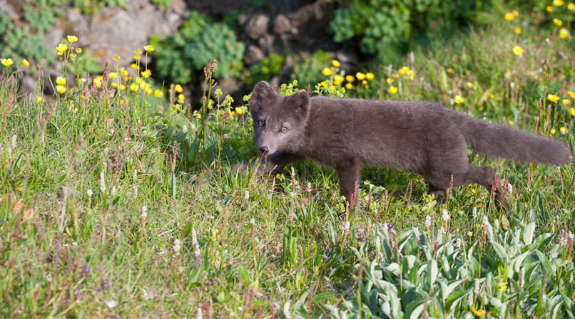
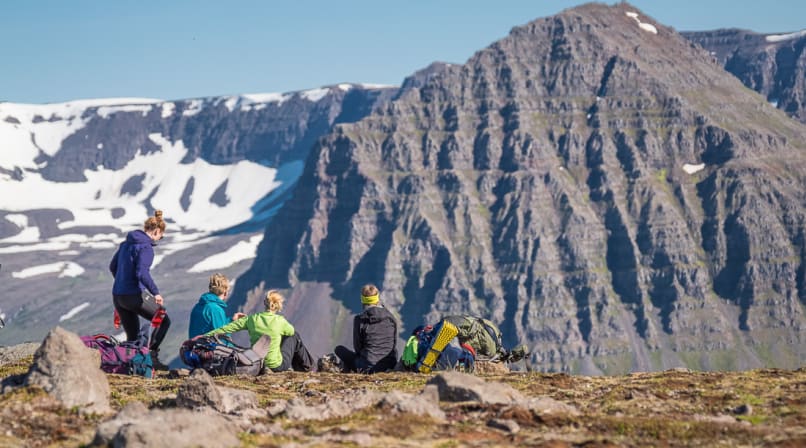
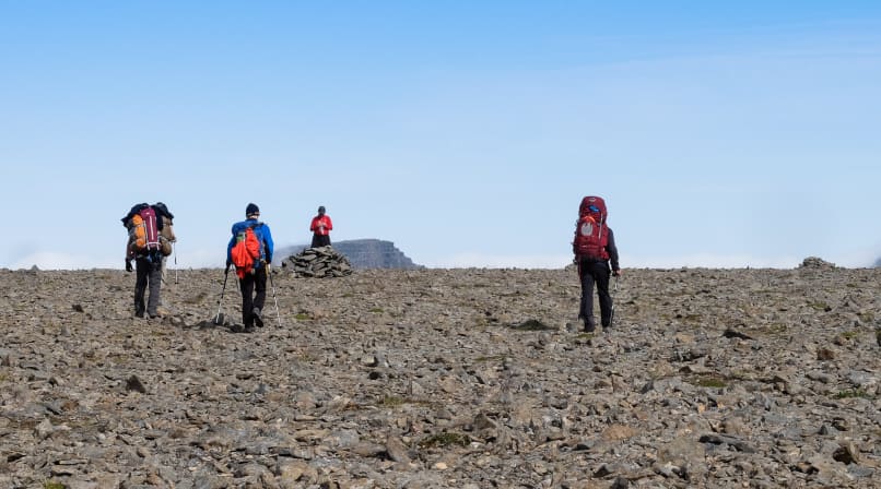
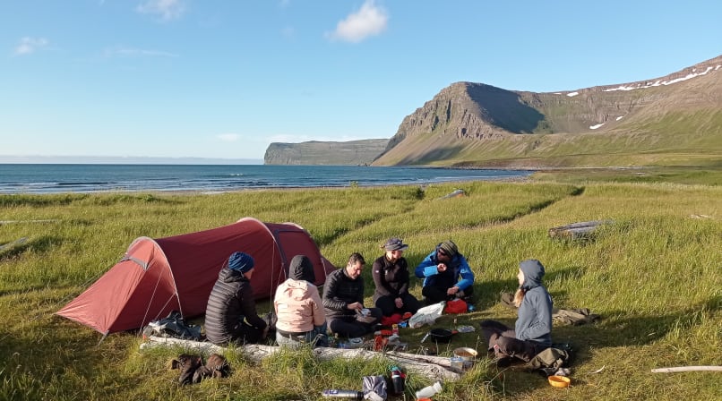
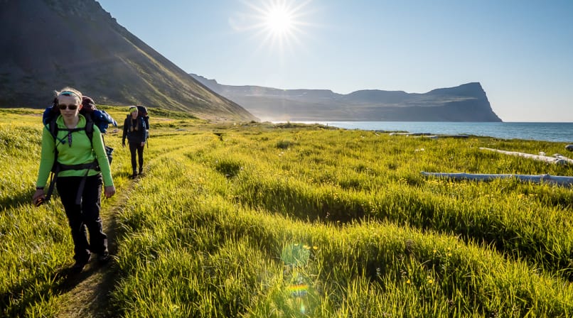
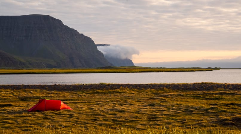
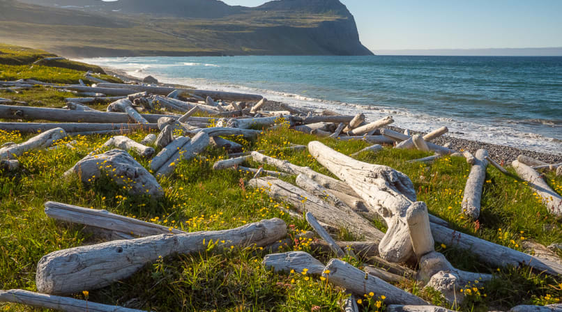
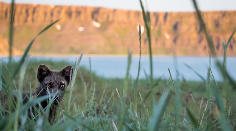
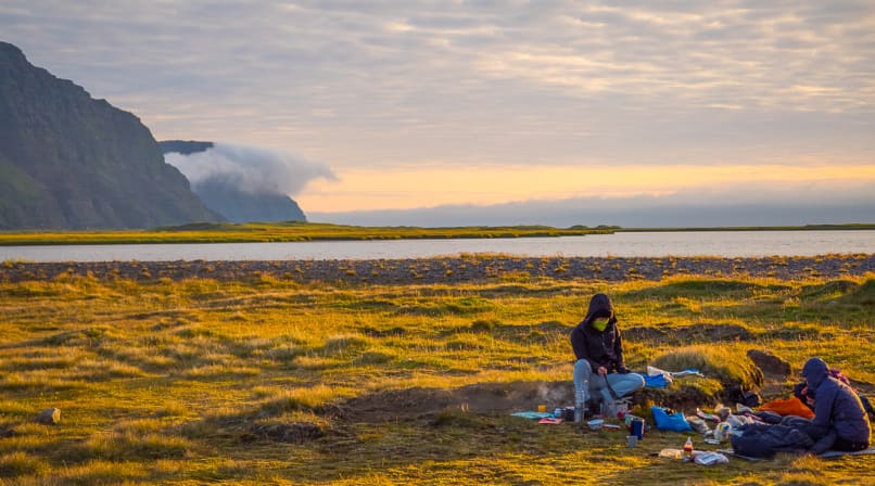
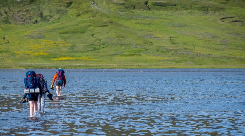
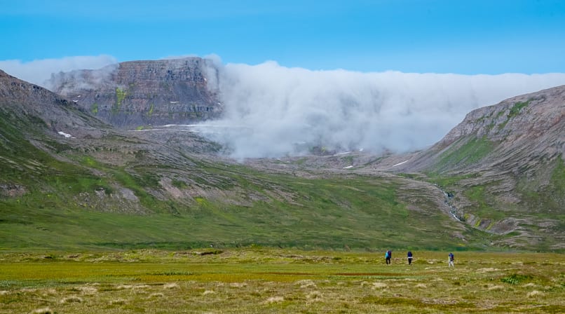
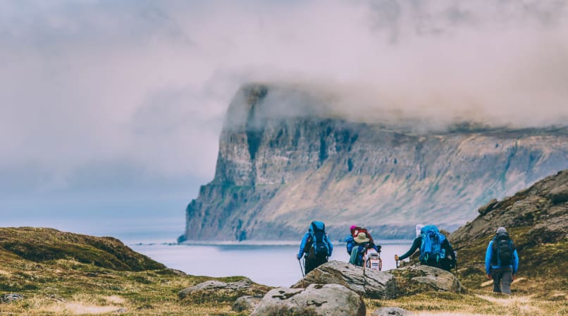
The Hornstrandir nature reserve is a place of magnificent untouched beauty and wildlife. The sheer basalt mountains stretch from the sea to the sky chaotically divided by deep fjords, secluded alcoves and valleys. At the coastline, the relentless power of the ocean has molded towering sea cliffs, richly populated by birds. Many of the alcoves and scurries of the coast are home to an abundance of seals. Inland the crawling glaciers of the last ice age have hewn ancient mountain passes and lakes into the rugged peninsula and there the Arctic Fox wanders in its natural environment. The Lost Fjords trip is a full-on backpacking trip where we are self-sufficient, carrying our equipment and sleeping in our own tents along the way.
Lost Fjords
What's included
- Boat transfers to and from Hornstrandir Nature Reserve
- All meals during the trip
- Tents
- Professional, experienced hiking guide
What's not included
- Travel to and from Ísafjörður before and after the trip
- Food and refreshments before departure on the first day
- Personal travel and medical insurance
- Sleeping bag and mattress (can be rented from us)
- Personal clothing and equipment (see recommended packing list)
What do I need to bring
A note on packing: Everything you bring will need to be carried on your back throughout the hike, so pack as light as possible while making sure you have everything you need.
Essential Equipment
- Backpack: 50–60L, large enough for all your personal belongings, sleeping bag and share of the food.
- Sleeping bag: Rated to at least 0°C. Down is recommended as it packs smaller than synthetic alternatives.
- Sleeping mattress: A lightweight inflatable mattress is ideal.
- Water bottle: You don't need a big bottle since there is perfectly clean water everywhere!
- Hiking boots: Waterproof, high-top boots with good ankle support.
Clothing
- Warm outdoor clothing, including hiking pants and warm upper layers.
- Waterproof jacket and trousers.
- Warm hat and gloves.
Avoid cotton clothing, as it retains moisture, loses its insulating properties when wet and takes a long time to dry.
Personal Items
- Personal first aid kit (plasters, lip balm, throat lozenges, seasickness tablets, etc.).
- Any personal medication you may need, such as an asthma inhaler.
- Sunglasses and sunscreen (after-sun cream optional).
- Camera.
- Binoculars (optional, but great for wildlife watching).
Tents
We provide all tents for the trip. Our standard tents are shared between two people, so you should expect to share with one other participant. If you prefer your own tent, you can rent a single-person tent by selecting this option during the booking process.
Attention
This expedition is for adventurous hikers who are in good physical shape and can handle 15-20 kg (35-45 lbs) backpacks the whole day. We urge you to do some physical training prior to departure so your tour will be more enjoyable. Mountain hikes, biking or other endurance training few times a week will get you there!
Itinerary
Day 1: Into the Wilderness
Note: Pre Departure Meeting the day before
We meet at our base atMávagarður C(grey building) close to the Eastern Harbour the day before departure at 5pm, where we will answer any questions and make final preparations. Please let us know beforehand if you can't make it to that meeting.
Departure
Our journey begins at 9 AM, when we leave the harbour in Ísafjörður aboard our passenger boat and head towards the abandoned settlement of Hesteyri. As we cross the fjord, we're leaving the modern world behind and making our way into the remote wilderness of Hornstrandir.
Once ashore, we shoulder our backpacks and set off on the old trail towards Hesteyrarskarð mountain pass. The path gradually climbs above the settlement, opening up beautiful views across the coastline and surrounding mountains. As we gain elevation, the sounds of everyday life disappear, replaced by the trickle of streams, birdsong and the waves rolling onto the shore below.
After reaching the pass, we begin our descent towards Stakkadalur and continue down to the coast. The landscape changes as we lose elevation, with rugged mountain slopes giving way to greener valleys and the open shoreline.
Our destination for the night is Látrar, where we'll set up camp and enjoy our first evening in the wilderness. A good introduction to the days ahead!
Distance: 12.5 km or 7.8 miles.
Elevation gain: Approximately 450 m or 1,500 ft.
Day 2: Across the Mountains to Fljótavík
Today, we leave Látrar behind and continue deeper into the wilderness of Aðalvík, following an old road built by the US Army in the 1950s. Its purpose? To reach the radar station on Mt. Straumnesfjall, which formed part of a military radar network during the Cold War. Life in such a remote and exposed location turned out to be anything but easy, and the station was eventually abandoned in 1960. Perhaps the lack of enemy activity made the whole operation feel a little unnecessary!
Leaving the old road behind, we begin a gradual climb across Tunguheiði, following what was once the main route connecting Aðalvík and Fljótavík. As we make our way across the hillside, the landscape opens up around us before we reach a dramatic glacial valley. Here, a winding switchback trail leads us down towards the old farmstead of Tunga and into the beautiful valley of Fljótavík.
The heart of Fljótavík is its magnificent lake, stretching across much of the valley floor. Known for its Arctic char fishing, the lake is an important part of this remote landscape and adds to the feeling of being somewhere far removed from the rest of the world.
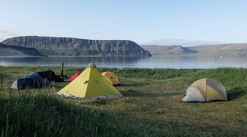
Our destination for the night lies near the long-abandoned farm of Glúmsstaðir. We'll find a sheltered spot to pitch our tents, take in the peaceful surroundings and enjoy another evening together in the wilderness. With no roads, no crowds and very little sign of modern life, this is Hornstrandir at its finest.
Distance: 15 km or 9.3 miles
Elevation gain: Approximately 700 m or 2,300 ft
Day 3: Into Hlöðuvík
After breakfast, we pack up camp and begin our hike along the green shores of Fljótsvatn lake. It's a beautiful start to the day, with the peaceful lake on one side and an impressive mountain range rising steeply on the other.
Before long, we leave the lakeshore behind and begin making our way up into the mountains. A series of mountain passes separates us from our next destination, Hlöðuvík, and we'll spend much of the day crossing this rugged terrain. As we gain elevation, the landscape becomes increasingly barren, with rocky slopes and wide-open views across the surrounding mountains and fjords.
Eventually, we begin our descent towards Hlöðuvík, where the scenery changes once again. The rugged mountains give way to a beautiful bay with a long sandy beach, surrounded by steep green slopes. It's a wonderful place to arrive after a full day of hiking.
We'll set up camp near the beach and enjoy a well-earned dinner together, with plenty of time to relax and take in the surroundings before another night under the skies of Hornstrandir.
Distance: 13 km (8.1 miles)
Elevation gain: Approximately 750 m (2,461 ft)
Day 4: Into the Heart of Hornstrandir
Today we leave Hlöðuvík behind and make our way towards Hornvík, often considered the heart of the Hornstrandir Nature Reserve. The trail starts with a steep climb up to the ridge of Skálakambur, where we'll follow a route marked by cairns towards the narrow mountain pass of Atlaskarð (327 m).
From the pass, we continue around Mt. Kollur before beginning our descent towards Höfn in Hornvík. The scenery here is something special, with dramatic mountain formations, steep cliffs and wide-open views over the surrounding coastline. Hornvík is one of those places that really deserves more than just a passing visit, so we'll make it our home for the next two nights.
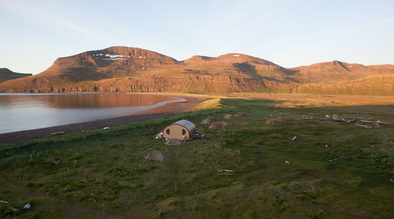
We'll stay at our cozy Borea Camp, located right on the beach. After several nights of wild camping, it's a welcome change to have a warm mess tent, a fully equipped kitchen and a comfortable place to gather, cook and enjoy each other's company. With two nights here, we'll have time to settle in and properly experience this remarkable corner of Hornstrandir.
Distance: 12 km (7.5 miles)
Elevation gain: Approximately 650 m (2,133 ft)
Day 5: Exploring Hornbjarg
There are few places in Iceland that can match the scenery of Hornvík. The bay is framed by two of the country's largest bird cliffs and, like the rest of Hornstrandir, can only be reached by boat or on foot. Having spent the previous day getting settled into camp, today is all about exploring this remarkable corner of the reserve.
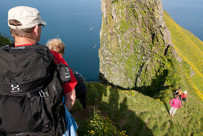
We leave most of our gear behind and set off with light backpacks towards Hornbjarg, one of Iceland's most impressive sea cliffs. Thousands of seabirds nest along its steep walls, while the enormous rock formations and sheer drops make you realize just how small we are in this landscape. The trail follows the edge of the cliffs, offering incredible views along the way. We'll keep a sensible distance from the edges, of course!
For many visitors, the hike to Hornbjarg is one of the highlights of their time in Iceland, and it's easy to understand why. We'll take our time along the route, stopping to enjoy the views and watch the birdlife before making our way back to camp.
Back at Borea Camp, we'll have a warm meal waiting and another evening to enjoy the comfort of our little base in Hornvík.
Distance: 16 km (9.9 miles)
Elevation gain: Approximately 900 m (2,953 ft)
Day 6: Over the Last Pass
After nearly a week in the wilderness, it's time to pack up camp and make our way back towards civilization. We leave Hornvík behind and set off on our final hike, crossing one more mountain pass on the way to Veiðileysufjörður.
Once over the pass, we descend towards the coast and follow the shoreline for a while until we reach Meleyri, where our boat will be waiting to take us back to Ísafjörður. It's a good opportunity to look back on the journey we've made through some of the most remote and beautiful parts of Iceland.
Back in town, there's time to enjoy a well-deserved shower and perhaps visit the Ísafjörður swimming pool to soak those tired legs. Or simply find a nice place to eat, have a drink and enjoy being back in town after almost a week away from roads, shops and everyday life.
Distance: 12 km (7.5 miles)
Elevation gain: Approximately 700 m (2,297 ft)
Please note that this itinerary is a guide only and may change depending on weather, trail conditions and the ability of the group.