Itinerary
Day 1: Departure
Note: Pre Departure Meeting the day before
We meet at our base atMávagarður C(grey building) close to the Eastern Harbour the day before departure at 5pm, where we will answer any questions and make final preparations. Please let us know beforehand if you can't make it to that meeting.
Departure
Our adventure begins at 8 AM, when we meet in Ísafjörður for final preparations before setting off from the harbour at 9 AM. Our passenger boat takes us across the fjord to Hesteyri, a journey of roughly one hour. And just like that, we're leaving the modern world behind and heading into the remote wilderness of Hornstrandir.
Hesteyri was once the main hub of the Hornstrandir region. At its peak in the early 20th century, around 100 people called this place home. The last residents left in 1952, and today, around 11 houses still stand, lovingly maintained by their descendants. It's a fascinating little settlement, with a quiet atmosphere that offers a glimpse into a very different way of life.
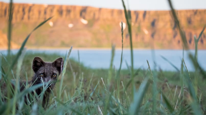
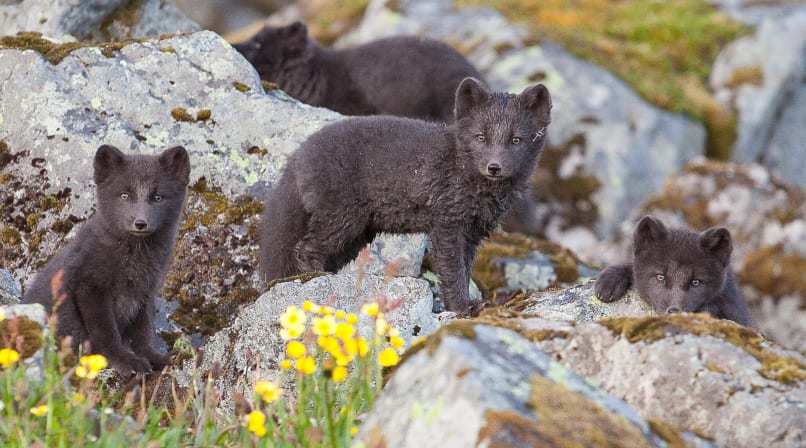
From here, our hike begins along the old trail heading west. As we gradually gain elevation, the views open up with every step. The sounds of civilisation quickly fade away, replaced by the soothing trickle of streams, birdsong, the occasional call of an Arctic fox and waves gently washing onto the shore.
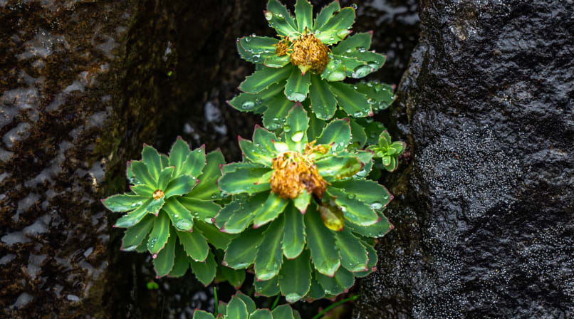
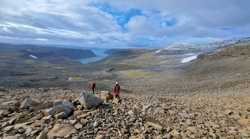
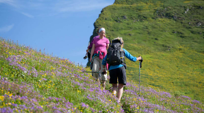
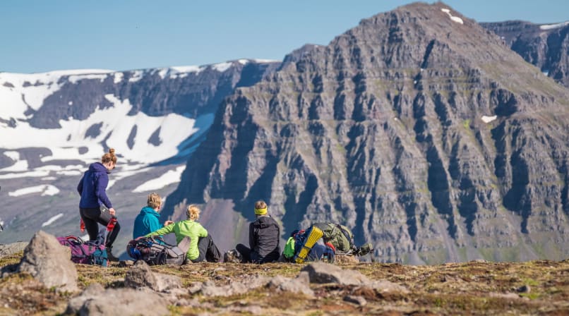
The higher we climb, the more rugged and barren the landscape becomes. Snow covers much of this terrain for most of the year, yet even in this harsh sub-Arctic environment, delicate wildflowers find a way to bloom. Eventually, we reach Hesteyrarskarð Pass, where we begin our descent into the beautiful Stakkadalur Valley.
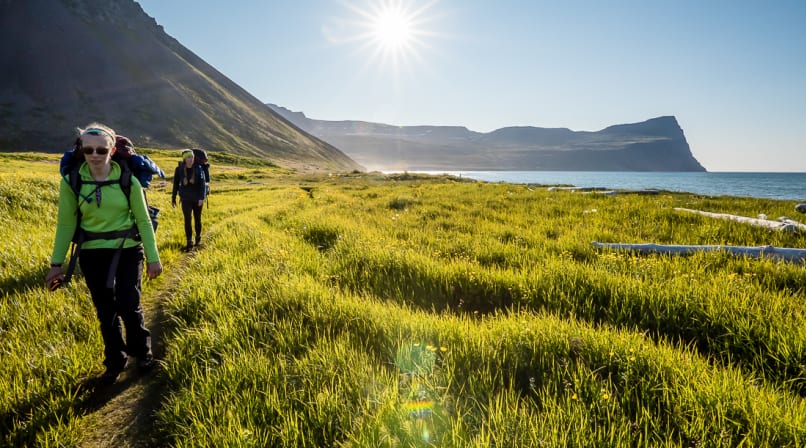
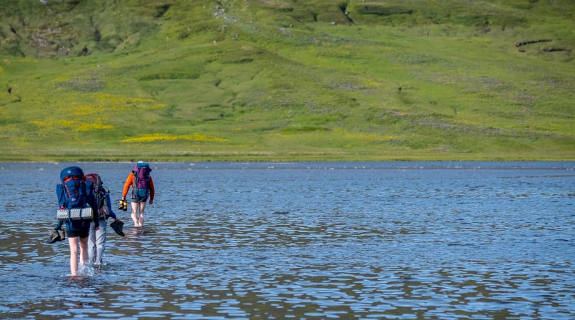
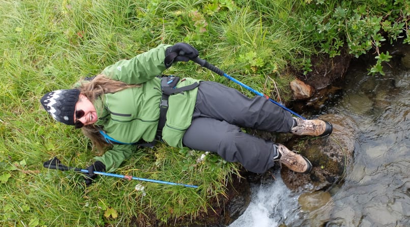
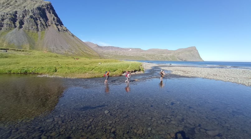
As we lose elevation, the scenery transforms once again. The rocky, barren slopes give way to lush vegetation as we make our way down the valley. After crossing an easy river, we reach the final stretch of the day: a peaceful walk along the beach towards Látrar, where we'll set up camp for the night.
It's a wonderful way to finish our first day in the wilderness. We'll have time to stretch our legs, settle into camp, soothe those hiking muscles and enjoy a well-earned dinner together. Our Hornstrandir adventure is officially underway!
Distance: 12.5 km 7.8 miles
Elevation gain: 450 m or 1500 ft.
Day 2: From Látrar to Fljótavík Bay
After breakfast and a few stretches, we pack our bags and start walking along the only road in Hornstrandir built by the US Army during the cold war. They got the great idea to build a radar station on top of Straumnes in the late 50's but quickly figured out this was a pretty harsh place to live, so they abandoned the station in 1960. They might also have gotten tired of not seeing any enemies, ever.
Quickly the road ends and we continue up the first hill and follow the old path leading over Tunguheiði. This is the route that the farmers used getting between the bays for work or going to church. The view gets better and better the higher we go and finally opens up over the whole mountain range. At the edge of the mountain is a beutiful old trail built with rocks that leads gently down to the old farmstead of Tunga. Fljótavík is characterised by a large lake that covers most of the valley floor and offers one of the best arctic char fishing in Iceland. We aim at camping near the long abandoned farm of Glúmsstaðir.
Distance: 15 km or 9 miles.
Approximate elevation gain: 700 m or 2300 ft.
Day 3: Glúmsstaðir along the dark side to Hlöðuvík!
We begin the day hiking along the lush green banks of Fljótsvatn, surrounded by an impressive landscape of towering basalt mountains, dramatic cliffs and soft green moss. The river feeding the lake is often teeming with Arctic char, and if we're lucky, we'll catch a glimpse of large schools of fish darting up and down the river at incredible speed.
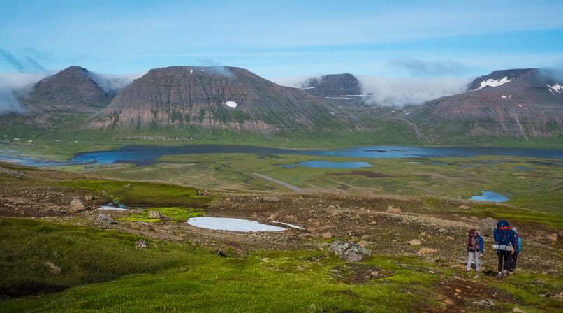
From here, we begin a steady climb towards Þorleifsskarð Pass, where breathtaking views open up across the entire valley and its scattered mountain lakes. The pass itself is a short but steep climb, rewarding us with a spectacular panorama before we descend on the northern side.
An easy trail then leads us beneath dark, towering cliffs towards Almenningaskarð Pass. From there, we make our final descent to the beach at Kjaransvík, where we cross the river before continuing beneath Álfsfell (Elf Mountain).
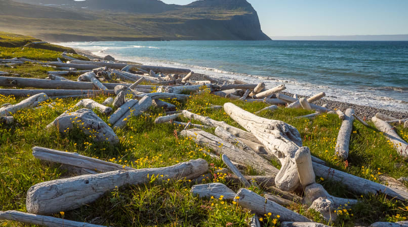
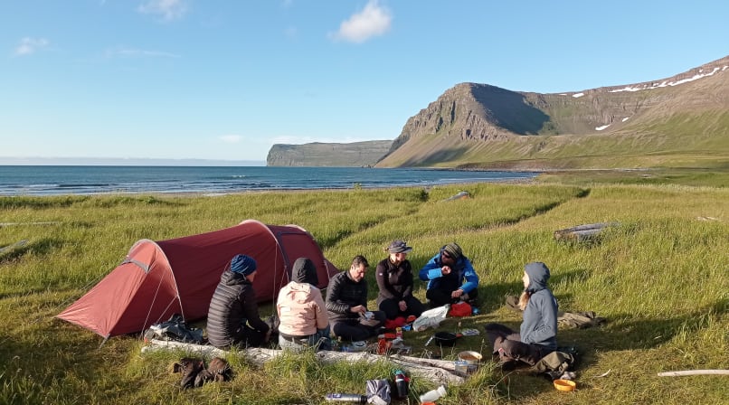
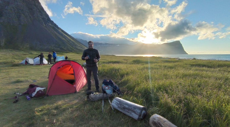
And finally, our reward: a magnificent campsite right on the beach, surrounded by driftwood and the wild and dramatic beauty of the Icelandic landscape.
Distance: 13 km or 8 miles
Approximate elevation gain and loss: 550 m or 1650 ft.
Day 4: From Hlöðuvík to Hornvík, the jewel of Hornstrandir
Today, we take it easy as we follow the shoreline towards the rebuilt farm of Búðir, where we'll stop to say hello to the locals who spend their summers here. After a few friendly greetings and high-fives, it's time to head uphill! We tackle the zigzagging trail to the top of Skálakambur Ridge, where we're rewarded with what many consider the finest viewpoint in the entire Nature Reserve. Take a moment to soak it all in – the views are simply breathtaking.
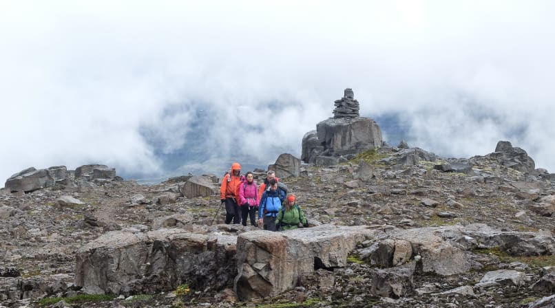
After a short break, we follow an easy cairn-marked trail towards Atlaskarð Pass (327 m). Skirting around Mt. Kollur, we gradually make our way towards the secluded cove of Rekavík (Driftwood Cove), where the beach is scattered with driftwood carried across the ocean from distant shores. After crossing a small river, the trail gets a little more adventurous as we follow a narrow path down the cliffs towards the beach.
Before long, we reach Höfn in Hornvík, right in the heart of the Hornstrandir Nature Reserve. This is a place of extraordinary natural beauty, where dramatic landscapes and remote wilderness come together. It's the kind of place that deserves more than just a passing visit, so we'll settle in for two nights and make the most of our time here.
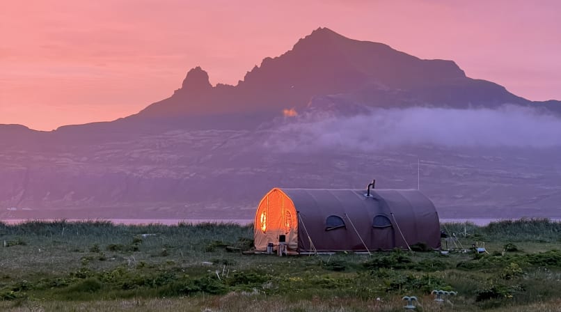
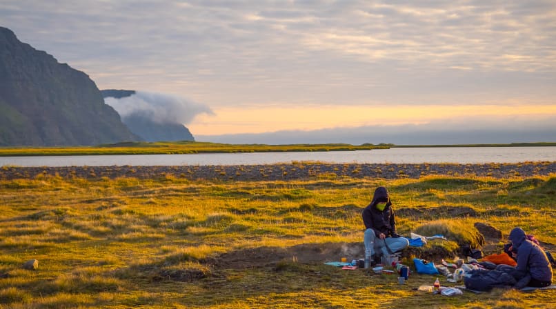
And what a place to call home! Our cosy Borea Camp sits right on the beach, offering a little comfort in the middle of this wild and remote landscape. We can warm up in the mess tent, prepare meals in our fully equipped kitchen, and enjoy some well-deserved downtime together. There's no rush – we're right where we want to be.
Distance: 12 km or 7.5 miles
Approximate elevation gain: 650 m or 2100 ft
Day 5: Hornbjarg Cliffs Traverse
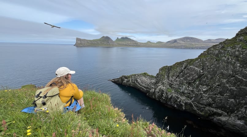
Few places in Iceland can match the raw beauty of Hornvík Bay. Tucked between two of the country's most impressive bird cliffs, home to millions of seabirds during the summer months, Hornvík feels like stepping into another world – a place where time has stood still and the presence of humans is barely felt. Here, it's all about wild nature, towering mountains, endless coastlines and Arctic foxes roaming freely along the beaches.
Like the rest of the Hornstrandir Nature Reserve, Hornvík is wonderfully remote, accessible only by boat or on foot. After a well-deserved breakfast, we'll leave most of our gear behind at camp and set off with light packs towards the mighty cliffs of Hornbjarg.
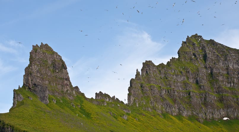
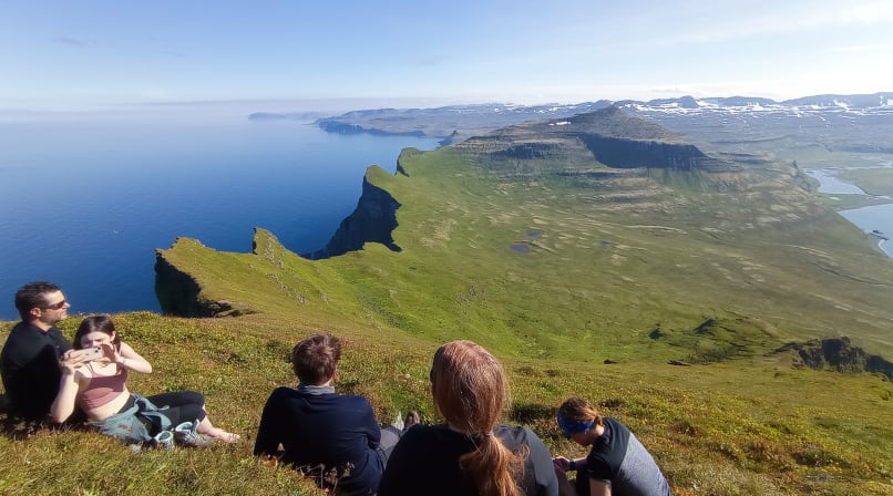
As we make our way along the ridgelines, thousands of seabirds fill the skies and cling to the towering cliff faces. The sheer scale of these natural sculptures is humbling, making us feel wonderfully small in the presence of such raw wilderness. It's no surprise that many visitors describe the hike to Hornbjarg as one of the absolute highlights of their trip to Iceland.
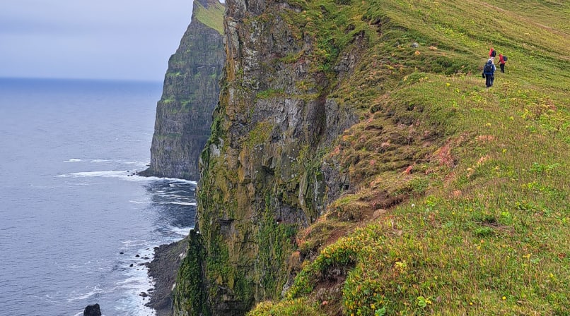
The trail itself is nothing short of spectacular. It winds along the edge of the cliffs, crossing several ridges and offering jaw-dropping views at every turn. In places, the path takes us surprisingly close to the edge, where you can carefully lie on your stomach and peer down into the vast drop below. It's an unforgettable experience – just remember to keep a safe distance from the edge!
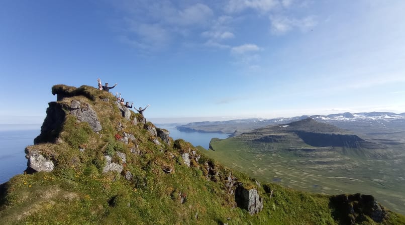
For those feeling strong and with favourable conditions on our side, we'll aim to reach the summit of Kálfatindar, the highest peak of the cliffs. From up there, the views are simply out of this world. The entire coastline stretches eastwards, and on a clear day, we can even spot distant mountain ranges more than 100 km away.
After a day surrounded by some of Iceland's most spectacular scenery, we'll make our way along the black sand beach back to camp. There, a warm meal, a cosy mess tent and good company await. A perfect ending to a day we'll be talking about for a long time.
Distance: 16 km or 10 miles.
Approximate elevation gain and loss: 900 m or 3000 ft.
Day 6: Southwards to Veiðileysufjörður Fjord
Our last morning of the tour is a relaxed one. There is no rush to pack up and head out, so enjoy the solitude and being among fellow companions over a warm coffee in our camp. We will then pack our tents and gear, hit the trail around noon. After an easy warmup along the flat sand dunes and grass, we start heading up the first ridge towards the final mountain pass. The rolling hills covered in moss and black rocks makes the glaciated landscape as dramatic as it gets. We can always expect some snow patches even in late summer on this route which actually makes the going faster. The final pass of Hafnarskarð gets closer and we finally make it up there for a view over Veiðielysufjörður and get a glimpse of our pickup point. After crossing the pass, we descend down the lush valley to the coast again, following the beach for a while until we get to our final destination. From there we will get picked up by a boat that will take us to Ísafjörður, back to civilization after almost a week in the wild. For those eager to wash off their hiking dust, a visit to Ísafjörður swimming pool is ideal. Others can relax, go out, eat and just enjoy the town.
We can expect to be back in Ísafjörður between 7 and 8 pm.
Distance 12 km or 7.5 miles.
Approximate elevation gain and loss: 600 m or 2000 ft.
This itinerary is a guide only and is subject to change depending on the weather, conditions and the ability of the group.